
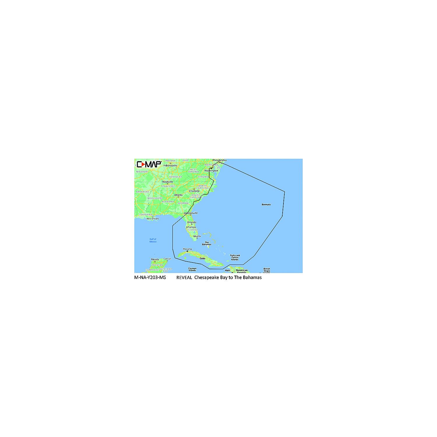
C-Map MNAY203MS Reveal Chart, Chesapeake Bay to The Bahamas
$252.95
C-Map MNAY203MS Reveal Chart, Chesapeake Bay to The Bahamas
Description
C-Map MNAY203MS Reveal Chart, Chesapeake Bay to The Bahamas REVEAL charts bring you the very best of C-MAP, including game-changing Shaded Relief bringing the world around and beneath you to life in a completely new way.
Description: Chesapeake Bay to The Bahamas
:
Full-Featured Vector Charts
Detailed Marina Port Plans
Shaded Relief
Dynamic Raster Charts
Hi-Res Bathymetry
Aerial Photography
Integrated Genesis Layer
Satellite Overlay
Custom Depth Shading
Subscription-Free Easy Routing
12 Months Free Updates
Tides & Currents For compatibility info visit c-map.com
Additional information
| Weight | 0.07 lbs |
|---|---|
| Dimensions | 5.79 × 4.13 × 0.2 in |
| Description |
Related products
-

Humminbird 6010091 Lakemaster With VX Technology, Western States V1
$149.99 Add to cart -

Humminbird 6020091 Lakemaster Premium With VX Technology, Western States V1
$199.99 Add to cart -
Humminbird 6020071 Lakemaster Premium With VX Technology, Northeast V1
$199.99 Add to cart -
Humminbird 6020021 Lakemaster Premium With VX Technology, Great Lakes V1
$199.99 Add to cart